Accurate existing-condition capture for design, planning, drainage, earthworks and project feasibility.
GDSurv provides clear, usable site data that helps consultants, builders and civil contractors make informed design and delivery decisions from the beginning.
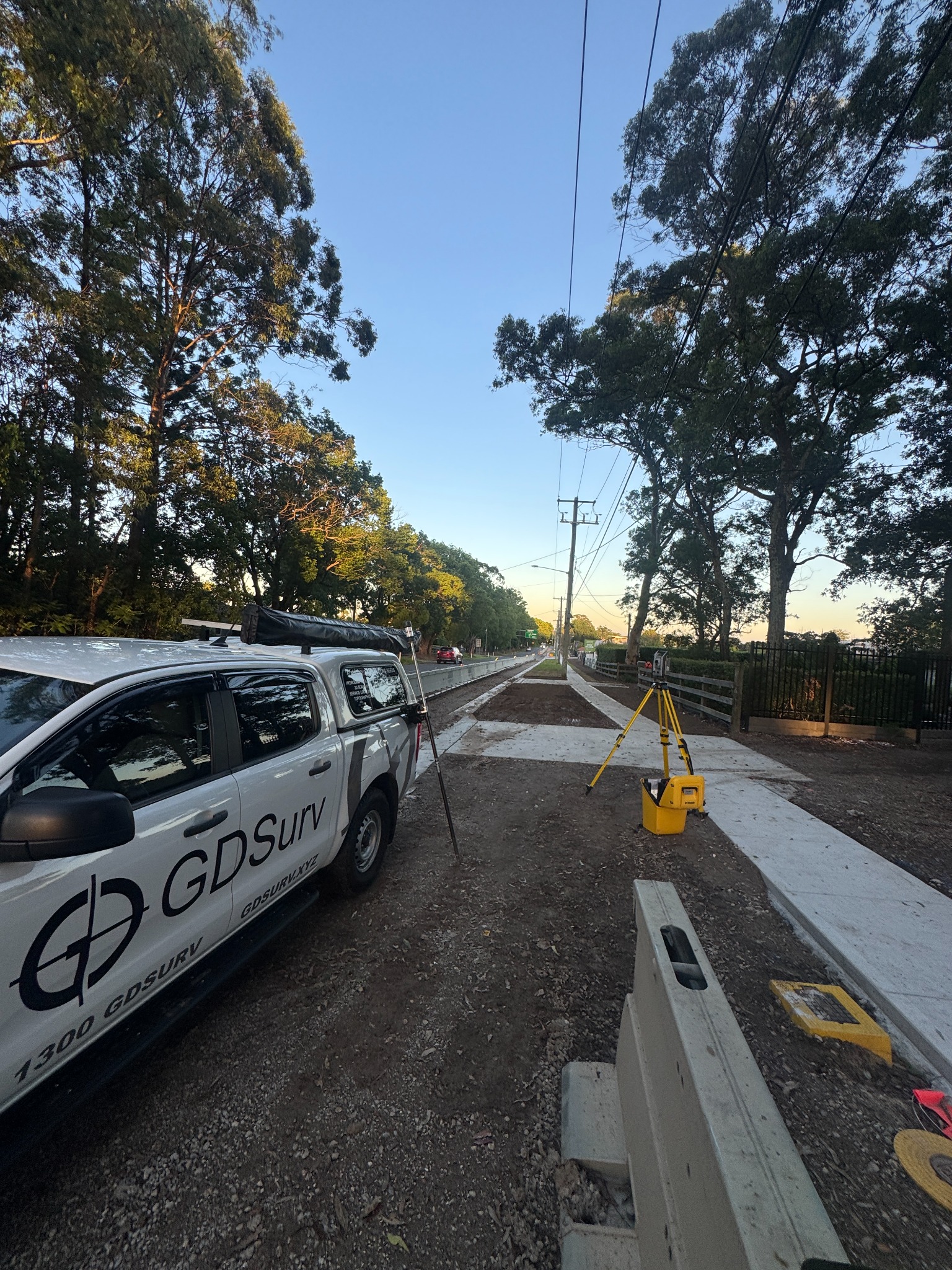
GDSurv delivers clear communication, dependable survey data and a relationship-first approach that supports better project outcomes.