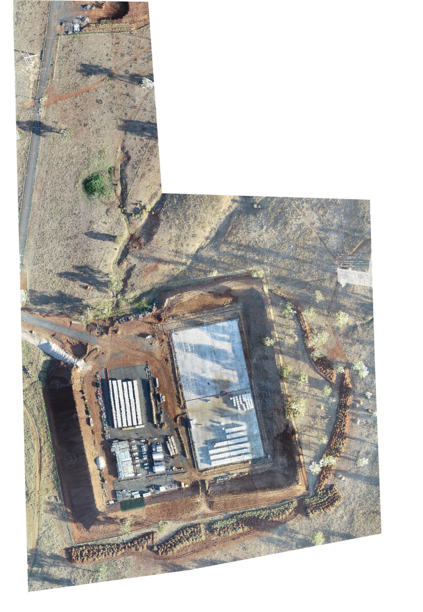
Fast aerial capture for site visibility, orthophotos, volume checks and terrain modelling.
Drone mapping is ideal when you need broad site coverage quickly and want outputs that are practical, visual and easy for teams to understand.
GDSurv delivers clear communication, dependable survey data and a relationship-first approach that supports better project outcomes.