Civil Surveying
Roads, drainage, utilities, subdivisions and earthworks support for infrastructure delivery.
View civil surveyingGDSurv supports civil contractors, builders and project teams with construction setout, civil surveying, topographical surveys, drone mapping, monitoring and 3D laser scanning across Sydney and NSW.
Precision you can trust. Relationships that last.
GDSurv is built on strong working relationships with builders, civil contractors and engineering teams. Our approach focuses on delivering accurate survey data, clear communication and dependable site support that helps projects stay on track.
GDSurv is built on the belief that strong relationships deliver the best projects.
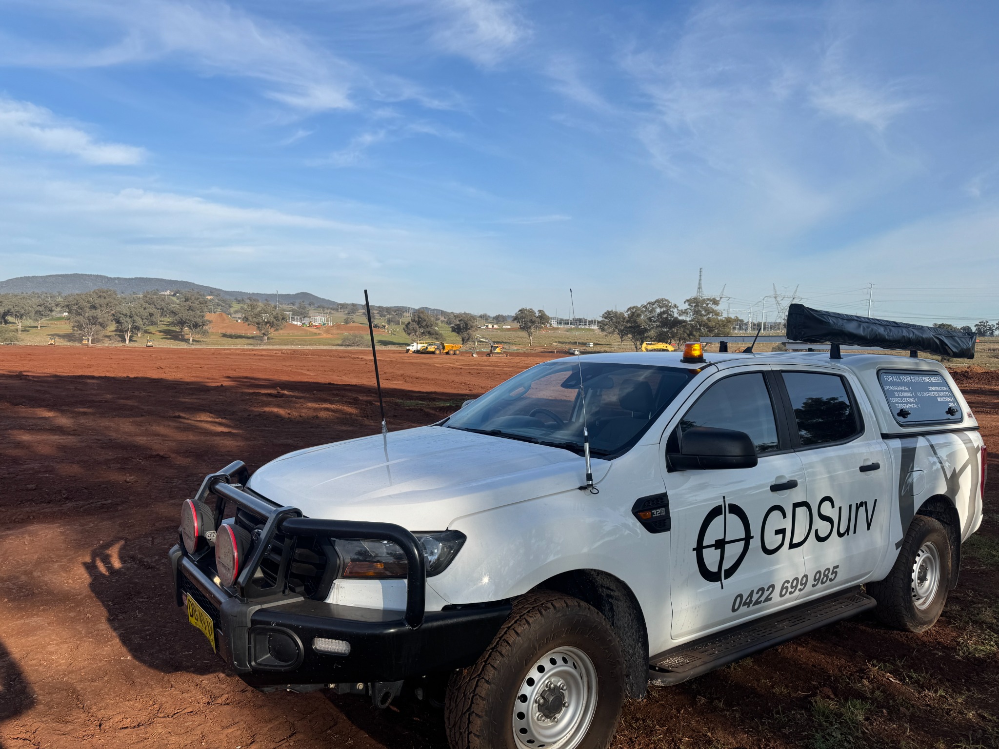
GDSurv delivers reliable engineering surveying services across Sydney and NSW, supporting builders, civil contractors and project teams with accurate site data, clear communication and dependable field delivery.
Roads, drainage, utilities, subdivisions and earthworks support for infrastructure delivery.
View civil surveyingSetout, verification and as-built support for commercial, industrial and structural works.
View construction surveyingDetailed feature and existing-condition surveys for planning, design and delivery.
View topographical surveysAerial imagery, orthophotos and terrain models for broad site visibility and reporting.
View drone mappingPoint cloud capture and scan-to-model workflows for verification and records.
View laser scanningMovement monitoring and reporting for risk management and compliance.
View monitoringA selection of recent surveying work delivered across civil infrastructure and construction projects throughout Sydney and NSW.
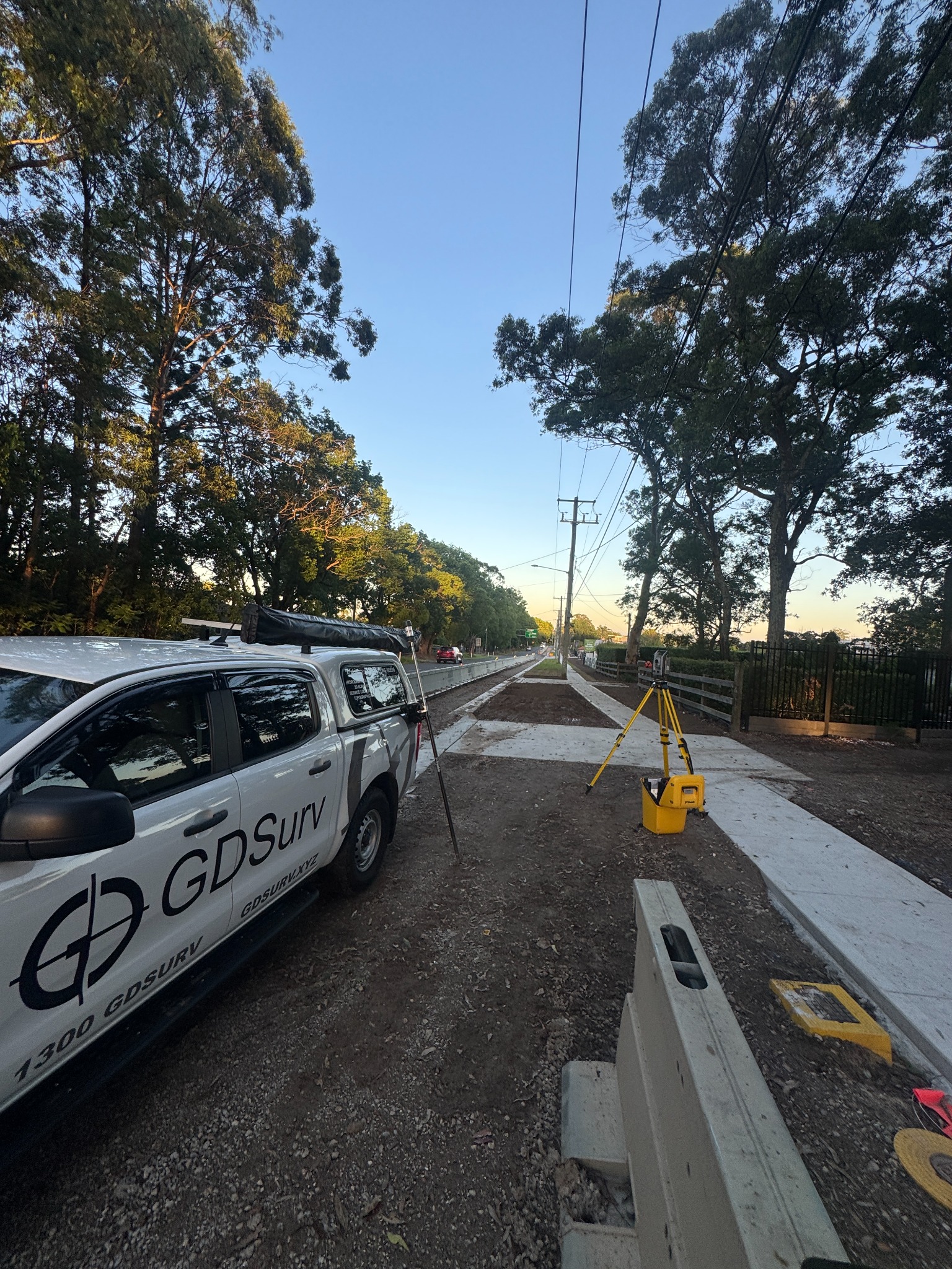
Detailed topographical surveys providing accurate existing-condition data for planning, engineering design and construction delivery.
View service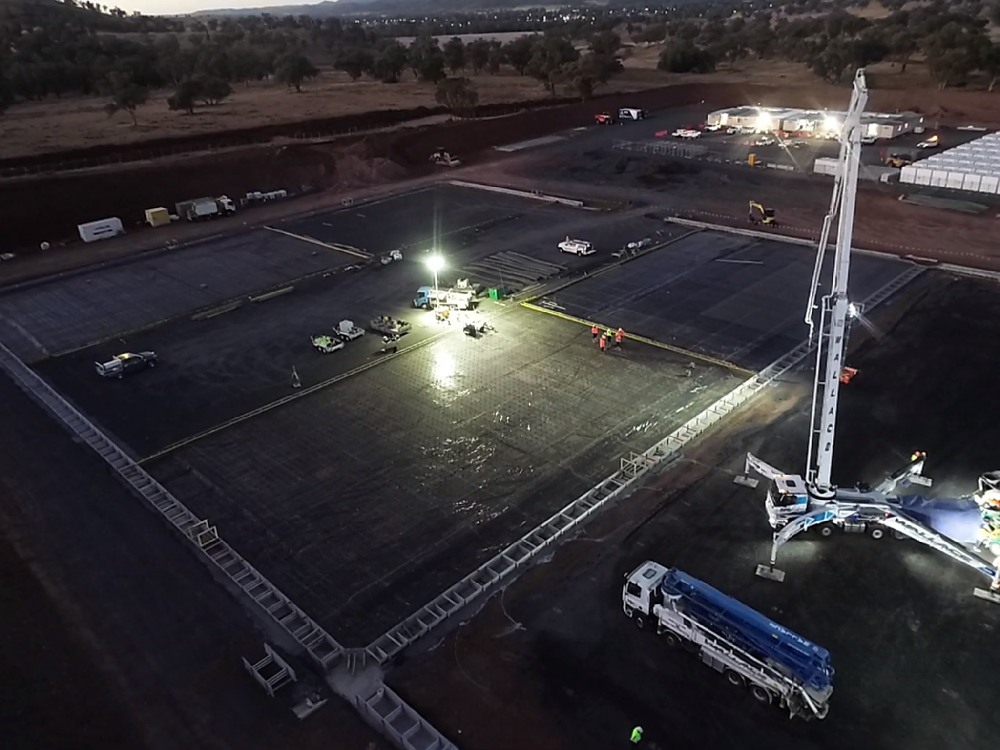
Construction surveying supporting critical concrete pours, structural setout and grid control on commercial and industrial projects.
View service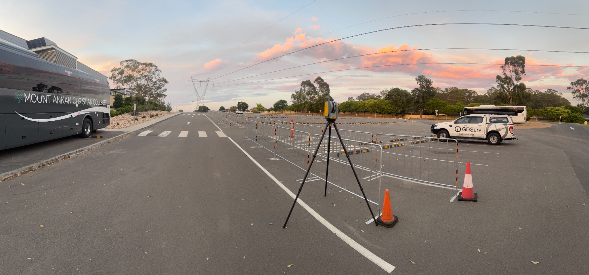
High-resolution reality capture and point cloud modelling used for verification, retrofit planning and detailed project documentation.
View serviceContact GDSurv to discuss civil infrastructure, construction surveying, topographical surveys, drone mapping, monitoring or 3D laser scanning.